Only released in EOL distros:
Package Summary
Package for creating a geometric map of the environment.
- Maintainer: Georg Arbeiter <goa AT ipa.fhg DOT de>
- Author: Georg Arbeiter
- License: LGPL
- Source: git https://github.com/ipa320/cob_environment_perception.git (branch: hydro_dev)
Package Summary
The cob_3d_mapping_geometry_map package provides a node for processing and visualization of 3D environment data.
Contents
Overview
The node subscribes to messages of type ShapeArray, handling shapes of types polygon and cylinder. If necessary the shapes are transformed to a common target frame. Reoccuring shapes are associated and merged accordingly. For every input message the resulting aggregated geometric map is published and ready for visualization in rviz or further processing in cob_3d_visualization.
cob_3d_mapping_geometry_map
Subscribed Topics
/shape_array (cob_3d_mapping_msgs/ShapeArray)- Input topic with geometric shapes.
- Transformations, connecting target frames
Published Topics
/geometry_map/map_array (cob_3d_mapping_msgs/ShapeArray)- Array with geometric shapes
- Line strip of shape contours.
- Cylinder marker visualization of cylinder pieces.
Services
clear_map (cob_srvs/Trigger)- Clears the geometry map.
- Returns the current geometry map.
- Sets a map, overrides existing map
- Returns the modified map
Parameters
~map_frame_id (string, default: "/map")- Target frame the map is supposed to be transformed to. Make sure, that the corresponding transformation is available as /tf topic in the input data.
- If set to false, transformation of incoming shapes to the map frame is deactivated. Use this option if no tf is available.
- Distance threshold. If distance between two shapes falls below this value, they are considered merge candidates.
- Cosine of angle threshold. If angular merge criteria falls below this value, shapes are considered merge candidates.
Usage
The geometry map node can be started using the corresponding launch file:
roslaunch cob_3d_mapping_geometry_map geometry_map.launch
Save map to a bag file
rosrun cob_3d_mapping_geometry_map get_geometry_map map.bag
Clear the map
rosservice call geometry_map/clear_map
Load an initial map from a bag file
- Edit set_geometry_map.launch: set the path to map.bag as file_path
- Load the map
roslaunch cob_3d_mapping_geometry_map set_geometry_map.launch
Example
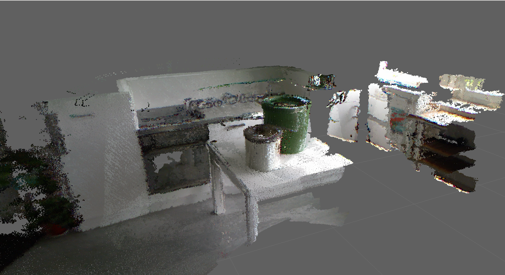
A sample point_map of a scene, recorded in a kitchen.

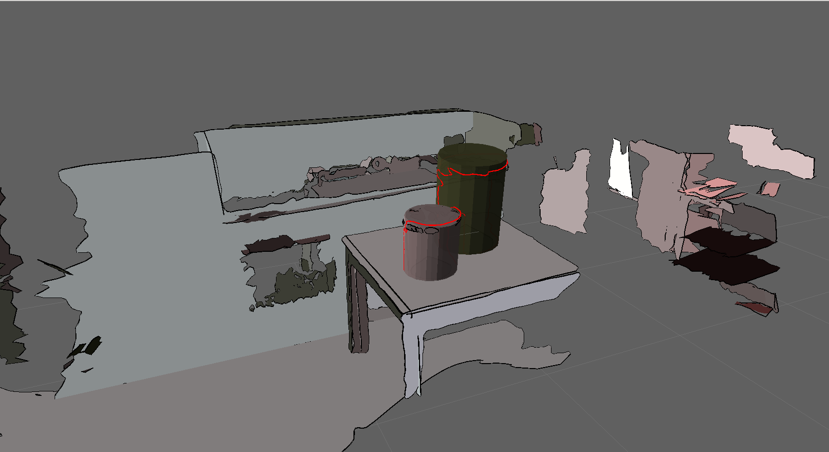
The result of using the cob_3d_mapping_geometry_map is shown below. It consists of published shapes, geometry markers and cylinder primitives.

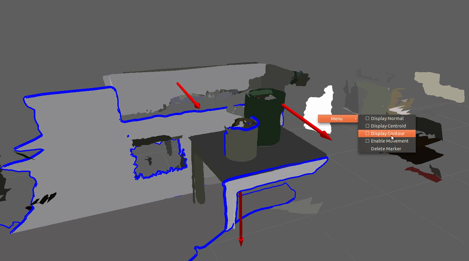
If one intends to use the enhanced capabilities provided by interactive markers, the node is started according to cob_3d_visualization.


